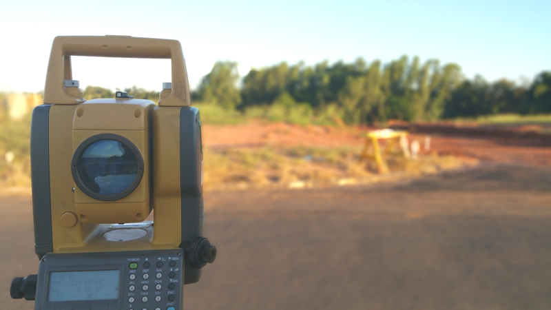
The Geomatics Technology curriculum prepares students to use mathematical and scientific principles for the delineation, determination, planning and positioning of land tracts, boundaries, contours and features applying principles of route surveying, construction surveying, photogrammetry, mapping, global positioning systems, geographical information systems, and other kinds of property description and measurement to create related maps, charts, and reports.
What to Expect:
Course Work
The Geomatics Technology curriculum prepares students to use mathematical and scientific principles for the delineation, determination, planning and positioning of land tracts, boundaries, contours and features applying principles of route surveying, construction surveying, photogrammetry, mapping, global positioning systems, geographical information systems, and other kinds of property description and measurement to create related maps, charts, and reports.
Course work includes instruction in:
- Applied Geodesy
- Basic Cartography
- Computer Graphics
- Geodetic Surveying
- Instrument Calibration
- Mensuration
- Photointerpretation
- Plane Surveying
- Survey Equipment Operation and Maintenance
- Traversing
Career Paths
Graduates should qualify jobs as:
- CAD Operator
- GPS Technician
- Highway Surveyor
- Instrument Person
- Mapper
- Survey Party Chief
- Survey Technician
Graduates will be prepared to pursue the requirements necessary to become a Registered Land Surveyor in North Carolina.
Fact Sheet for Geomatics Technology’s Associate, Diploma & Certificate Programs
Would you like to enroll? Contact an Admissions Counselor for assistance or Apply Now!
Associate Degree
Geomatics Technology (Surveying) (A40420)
Program Length: 5 Semesters
Prerequisite: High School Diploma & Placement Test Equivalent
Award: Associate in Applied Science
Do you need to attend part-time? View this Recommended


